


▶ Waterfront Trail
"Stretching over 2100 km along the Canadian shores of Lake Ontario, Lake Erie, Lake St. Clair, Lake Huron and the Niagara, Detroit and St. Lawrence Rivers, the Great Lakes Waterfront Trail connects 114 communities and hundreds of parks and natural areas including wetlands, forests and beaches. Created to protect, connect and celebrate the world's largest group of freshwater lakes, the Trail has become a well-loved and used recreation, fitness and green transportation amenity and a world-renowned tourism attraction." -- Waterfront Regeneration Trust
Twinned Trails
The Waterfront Trail is concurrent with the TransCanada Trail along the shoreline of Lake Ontario through South Mississauga. The trail is presently a combination of paved multi-use trail and residential streets that serve as road connections. See interactive maps at both links for mutual sections through Clarkson, Port Credit and Lakeview. Below: Maps of the Mississauga sections via the Downloadable Maps webpage of the Waterfront Trail website.


▶ Topical MCN! X Posts:
NATURAL CYCLING DESTINATION! Can't wait for new #cycling trails extending the #WaterfrontTrail 🌊 into #JTLCA 🐢🦆🦋 🌾🐸 Naturalized 26ha lakefill megaproject opens May 2026 with a 1.5km shoreline trail 🪨🌿🌱 *OPEN HOUSE* Thurs Nov 27 @ 6-8pm: Reg'n 🔗 ⤵️ #bikeMississauga 🚲 https://t.co/YnfStVqGWV
— Mississauga Cycling Now! (@MissCyclingNow) November 1, 2025
FALL CYCLING DESTINATION: No #cycling 🚳 is permitted on fragile #RattrayMarsh 🍂🌿 trails or boardwalks. Detour around the conservation area 🗺: https://t.co/TwvZP1DwhF ~or~ 👉🏼Park your bike & hike 🥾 on this pedestrian-only section of the #WaterfrontTrail 🌊 #bikeMississauga 🚲 https://t.co/j1Kq02yNlT
— Mississauga Cycling Now! (@MissCyclingNow) October 18, 2025
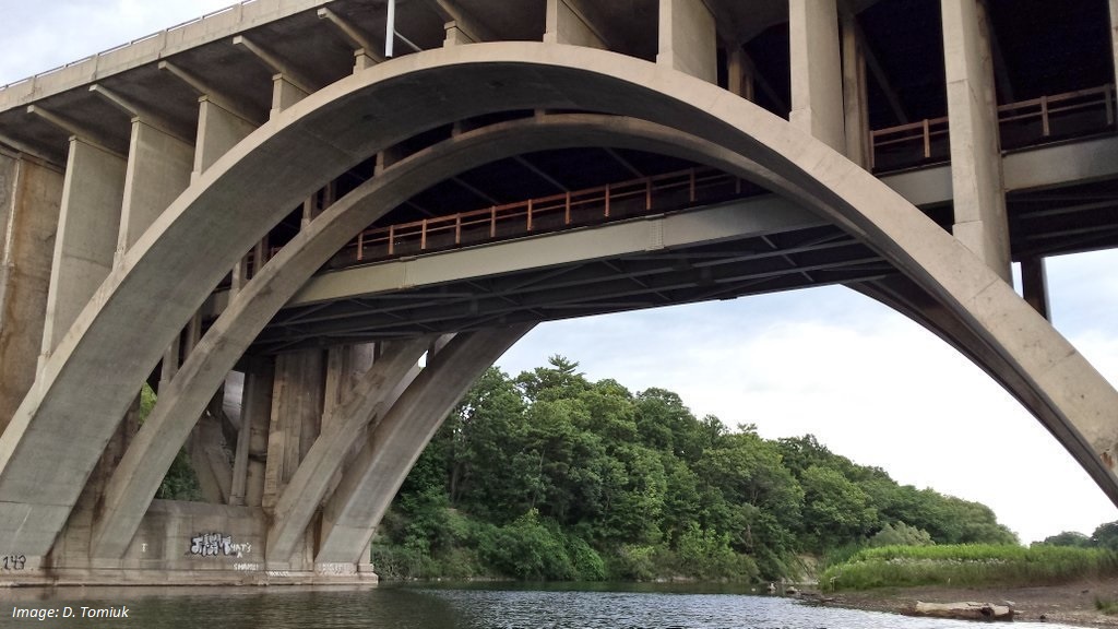
LAKEVIEW VILLAGE WATERFRONT TRAIL & PEDESTRIAN BRIDGE: *TONIGHT* Thurs June 12 @ 6-7:30pm. Virtual PIC 💻👥💬 to review Class EA: location & design of the #WaterfrontTrail 🌊 extension and ped/#cycling bridge. Webex mtg link via 🔗: https://t.co/ukA5pUXxcq | #bikeMississauga 🚲 pic.twitter.com/JJqzcDMr7E
— Mississauga Cycling Now! (@MissCyclingNow) June 12, 2025
FEELING CONNECTED! See 🔗: https://t.co/yJMfsJt76d to search the interactive map 💻🗺 of the #WaterfrontTrail 🌊 section of the #TransCanadaTrail 🍁 through #bikeMississauga 🚲 https://t.co/4mCepoIipw pic.twitter.com/lMGDggOQKY
— Mississauga Cycling Now! (@MissCyclingNow) March 11, 2024
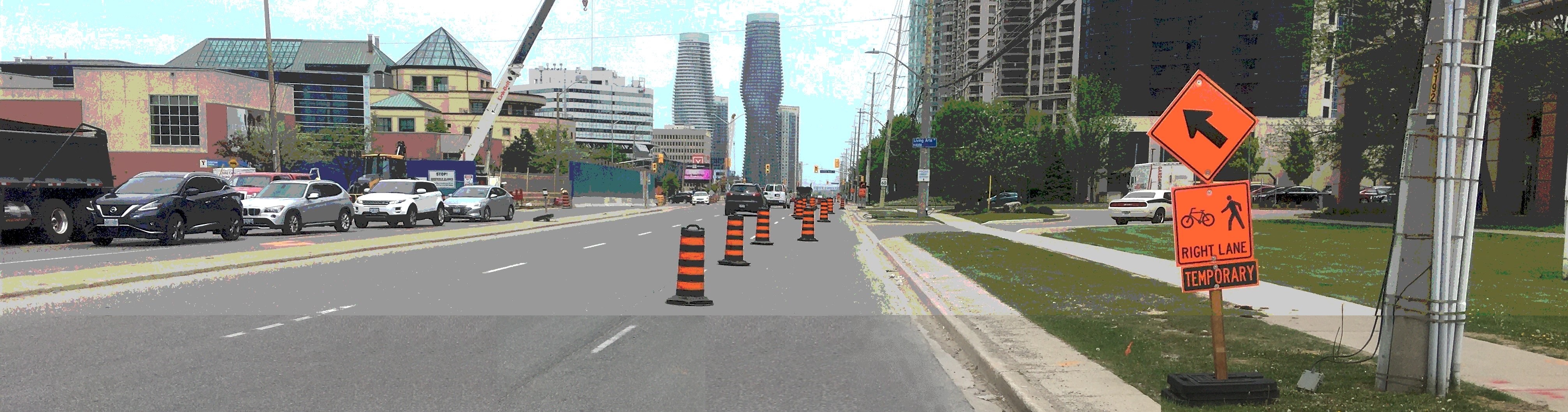
NATIONAL ACTIVE TRANSPORTATION FUND: Mississauga has rec'd capital funding 💰 towards extending the #WaterfrontTrail 🌊 / #TransCanadaTrail 🍁 along the Lakeview shoreline & thru #JimTovey Conservation Area #JTLCA 🌱🌿🐸 which opens in 2025. Detail$ 🔗 ⤵️ #bikeMississauga 🚲 https://t.co/4uMIb2oalj
— Mississauga Cycling Now! (@MissCyclingNow) November 24, 2023
Copyright © 2025 MCN! - Mississauga Cycling Now! All Rights Reserved.